2 Free and Open-source 2d gis Apps for macOS (Intel and Apple Silicon)
1- OpenSCAD
Solid 3D CAD Modeller for Programmers

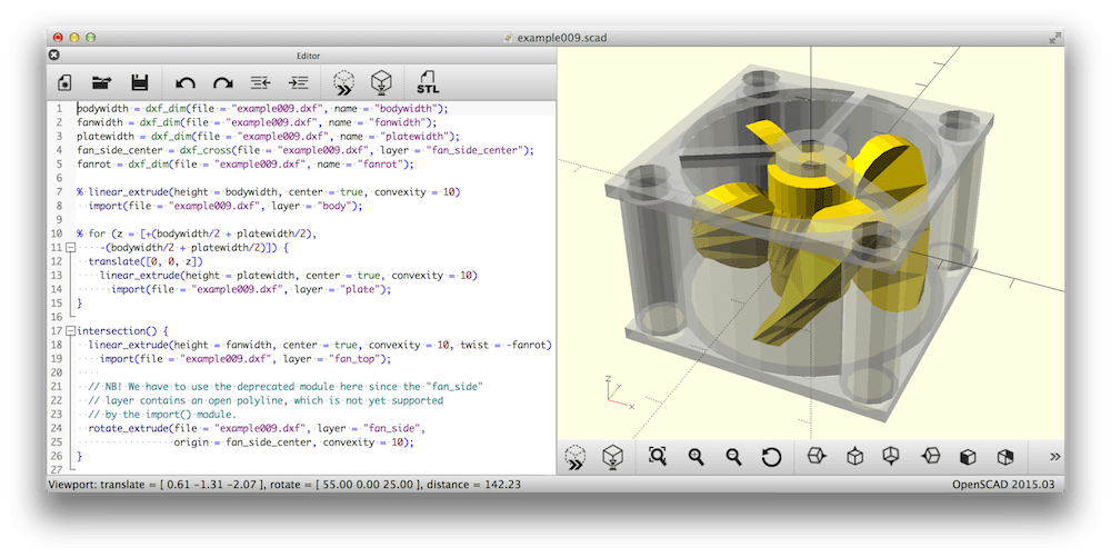
OpenSCAD is a software for creating solid 3D CAD objects. It is free software and available for Linux/UNIX, MS Windows and macOS.
Unlike most free software for creating 3D models (such as the famous application Blender), OpenSCAD focuses on the CAD aspects rather than the artistic aspects of 3D modeling. Thus this might be the application you are looking for when you are planning to create 3D models of machine parts but probably not the tool for creating computer-animated movies.
OpenSCAD is not an interactive modeler. Instead it is more like a 3D-compiler that reads a script file that describes the object and renders the 3D model from this script file (see examples below). This gives you, the designer, complete control over the modeling process and enables you to easily change any step in the modeling process or make designs that are defined by configurable parameters.
OpenSCAD provides two main modeling techniques: First there is constructive solid geometry (aka CSG) and second there is extrusion of 2D outlines. As the data exchange format for these 2D outlines Autocad DXF files are used. In addition to 2D paths for extrusion it is also possible to read design parameters from DXF files. Besides DXF files OpenSCAD can read and create 3D models in the STL and OFF file formats.
Read about OpenSCAD 's features, license, platforms, and more.
2- 3dfier
The open-source tool for creating 3D models

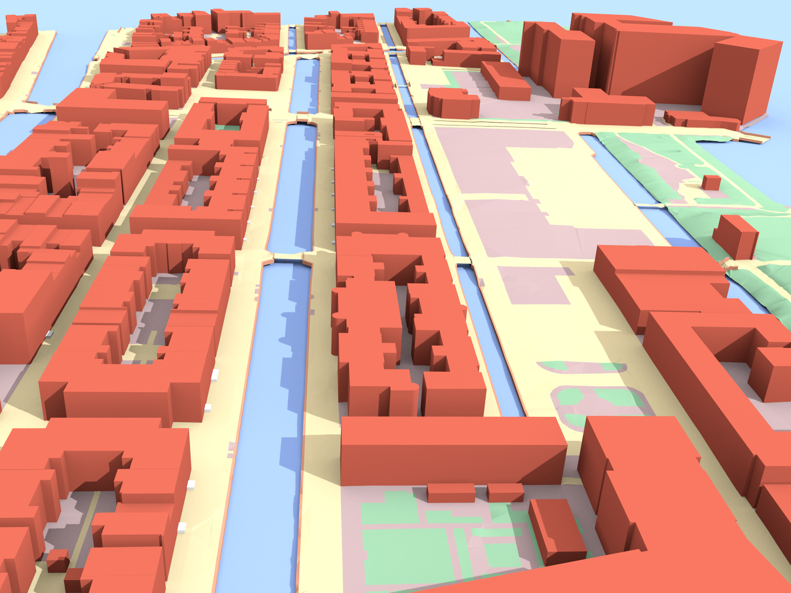
Takes 2D GIS datasets (e.g. topographical datasets) and "3dfies" them (as in "making them three-dimensional") by lifting every polygon to 3D. The elevation is obtained from a point cloud (we support LAS/LAZ at this moment), and the semantics of every polygon is used to perform the lifting. That is, water polygons are extruded to horizontal polygons, buildings to LOD1 blocks, roads as smooth surfaces, etc.
Every polygon is triangulated (constrained Delaunay triangulation) and the lifted polygons are "stitched" together so that one digital surface model (DSM) is constructed. Our aim is to obtain one DSM that is error-free, i.e. no intersecting triangles, no holes (the surface is watertight), where buildings are integrated in the surface, etc. This surface will then be used as input in simulation software for instance.
Read about 3dfier 's features, license, platforms, and more.